Up to 2 Months Free Base Rent!*
*Base Rent. Min Term Req’d. Other costs & fees excl. Terms apply. Select Units. Offer may change.
Photo Credit: Fabuous Hillcrest
Hillcrest is known for its lively streets, vibrant dining, and walkable energy—but the neighborhood hides a quieter side of urban green. Weaving between hills and historic bridges, a network of canyons and trails offers a retreat from the city rhythm.
Trail Overview
Maple Canyon Trail is a brief but atmospheric escape weaving between Bankers Hill and Middletown. The path follows a dry creek bed beneath soaring eucalyptus and sycamore. At roughly 1 to 1.2 miles round‑trip with minimal elevation gain, this trail is gentle enough for most walkers.
Its most striking features are two historic bridges. The Quince Street trestle, built in 1905 to link Bankers Hill residents with the streetcar line, now marks the eastern trail entry. A little further along, you pass under the First Avenue Bridge, with a striking steel‑arch span from 1931, shipped in pieces from the Midwest and reassembled here. It received seismic retrofits and returned to its original grandeur in 2010. A short, steeper descent or climb appears near the Quince Street entrance depending on direction.
Access Points
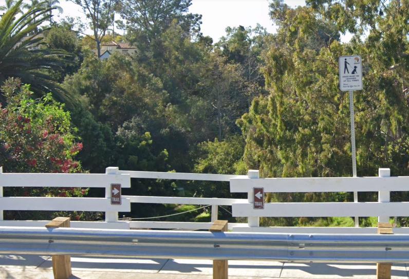
Google Maps has the trailhead listed near the intersection with Third Avenue at the eastern end of Quince Street. You’ll see a small dirt parking area beside a white fence. From there, cross the historic Quince Street trestle and descend into the canyon. Alternatively, you can begin from Maple Street, near its junction with Dove Street (close to Little Italy and Mission Hills).
Overview
Cabrillo Canyon forms the northern edge of Balboa Park, where the land narrows into steep, finger-like ridges that extend toward Hillcrest. Less polished than the park’s main promenades, the canyon preserves a fragment of the terrain as it once was—rugged slopes, dense vegetation, and the sound of city life muted by high canyon walls. Walking here feels like stepping into a quieter, older San Diego.
The canyon is defined by the historic Cabrillo Bridge, completed in 1914, which carries El Prado across its span before giving way to Balboa Park’s central mesa. While most visitors only see the bridge from above, the trails below reveal its dramatic arches rising over a landscape of chaparral and shaded ravines.
Access Points
Trail access begins at modest roadside entries along Robinson Avenue or Cypress Avenue, where dirt paths lead down into the canyon. These unmarked gateways connect to a rough network of maintained trails that wind south into Balboa Park. Conditions are rustic—expect uneven ground, seasonal heat, and limited signage—so good shoes, water, and sun protection are recommended.
Overview
A subtle, lengthy loop that threads through Balboa Park, Hillcrest, North Park, and Banker’s Hill, the Seven Bridges Walk stretches roughly 5 to 5.5 miles and moves at a gentle, accessible pace. It’s less a trail and more a woven urban stroll.
Access Points
Most walkers begin near the Inez Grant Parker Memorial Rose Garden on Park Boulevard, where parking is available along Balboa Park’s east side (Google Maps). From there, cross the first pedestrian bridge into the loop. Because the walk circles through Hillcrest, Banker’s Hill, and North Park, you can also join from any of the individual bridges. Google Maps also has a trail entry listed at the Spruce Street Suspension Bridge.
Overview
Marston Canyon lies just north of Balboa Park, where a cobblestone creek winds between dual trail paths nestled beneath dense vegetation—both native and ornamental. The canyon stretches from Richmond Street eastward to the CA‑163 underpass, offering a rare pocket of natural quiet in the city’s edge. Two primary trails parallel the creek, woven together by several connector paths and five known entry points, including stair access and gated routes.
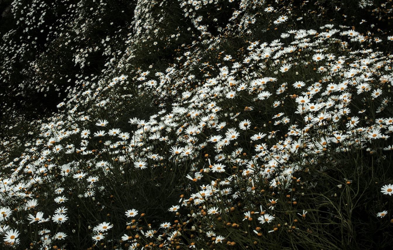
Throughout the seasons, the canyon shifts its character—spring brings bursts of wildflowers, summer offers cool shade under tree canopies, and rainy months reveal a flowing creek. This seasonal beauty draws locals looking to escape into an intimate, urban-natural setting
Access Points
* Richmond Street stairs – Traditional access into the canyon.
* Myrtle Way staircases – Two separate sets entering mid-canyon.
* Cypress Avenue & Vermont Street gate – Gravel road access with vehicle privileges.
* Boy Scout Service Center paved road – Leads down to a pedestrian bridge over CA‑163 and into the canyon network.
These entrances make the canyon highly approachable, though signage remains limited.
Balboa Park isn’t only museums and gardens—it’s also home to one of San Diego’s most varied trail systems. Five official gateways, marked by trailhead kiosks, open into a network of loops that range from short shaded walks to rugged canyon climbs. Each path is color-coded and signed, so it’s easy to pick your pace—whether you’re after a casual stroll or a workout with elevation.
Visit balboapark.org for more information and a detailed map.